Salisbury, like Canterbury, is an old medieval town centered on a cathedral. Unlike the Canterbury Cathedral, Salisbury was begun and finished in the mid-13th century, so it doesn't have the same ad hoc approach and mix of different styles.
But like Canterbury, it has still had enough time to accumulate plenty of graffiti.
 |
| An experiment with the panorama feature. I think the graffiti actually adds something. |
 |
| Facing North, to less interesting parts. |
 |
| Facing South, toward the cathedral. |
 |
| Like many waterways, this one has become a waterfowl refuge. |
The waterway continues South, to an old mill which it passes under and the approximate town center of Salisbury.
The tower in the background is the top of Salisbury Abbey, which remarkably still has its original wooden ceiling:
 |
| Another experiment with the panorama feature. The spine isn't as crooked as it appears here. |
After collecting, the waterway moves along the edge of the old town. Evidence makes me think this was navigable for punting from this point on, but there was no traffic.
Mid-summer is a rainy, cool season in the British Isles, and with it the vegetation becomes very lush. The towpath enters a small park, and switches sides across an old stone bridge which passes along the North edge of the city's old wall.
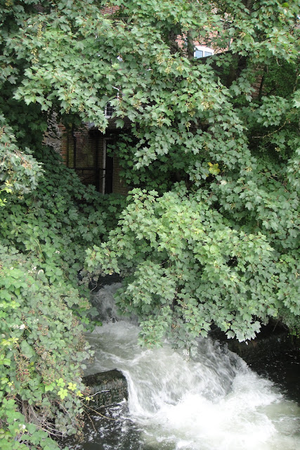
Gardens lined the opposite bank, and backed right up to the water, producing some amazing overhanging plants.
Traces of the retaining wall are still visible in this tree's roots:
It reminded me of a print I picked up at Castle Market in Oxford last year.
 |
| "Footbridge, Grasmere," by Gus Mills, 2009. |
The waterway joins another one here, and heads South into the countryside, passing another old mill visible on the left bank. The towpath then swings North, following the other waterway, which is the left track taken on the map.
 |
| The end (of the land). |
Although some of it was under (re)construction, the path, appropriately called Water Lane, runs past a row of comfortable-looking houses.
This concludes not only my trip to Salisbury, but my time along towpaths in the United Kingdom- for now. So many good towpaths left untrod! Yet there are also many miles of them in America, and I intend to find them.


No comments:
Post a Comment