I decided to finish the Regent's Canal. Here's the usual map:

After consulting Google, I realized that not far from where I left off, the canal goes into a tunnel with no towpath, and stays underground for a considerable distance, so there was little reason to start there. The Angel tube stop is a few blocks from where the canal emerges, so I decided to start there instead.
 |
| The entrance down to the canal. |

 |
| The good timing held up all day. |
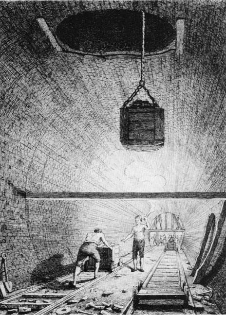
The Islington Tunnel runs for about 900 meters, and was opened in 1818. This drawing of its construction from 1820 shows how they built it:

This half of the canal also descends quite a bit through several locks along the way. Much more of the industrial infrastructure is still standing along the banks than areas I've visited before.

 |
| The first of many locks. |


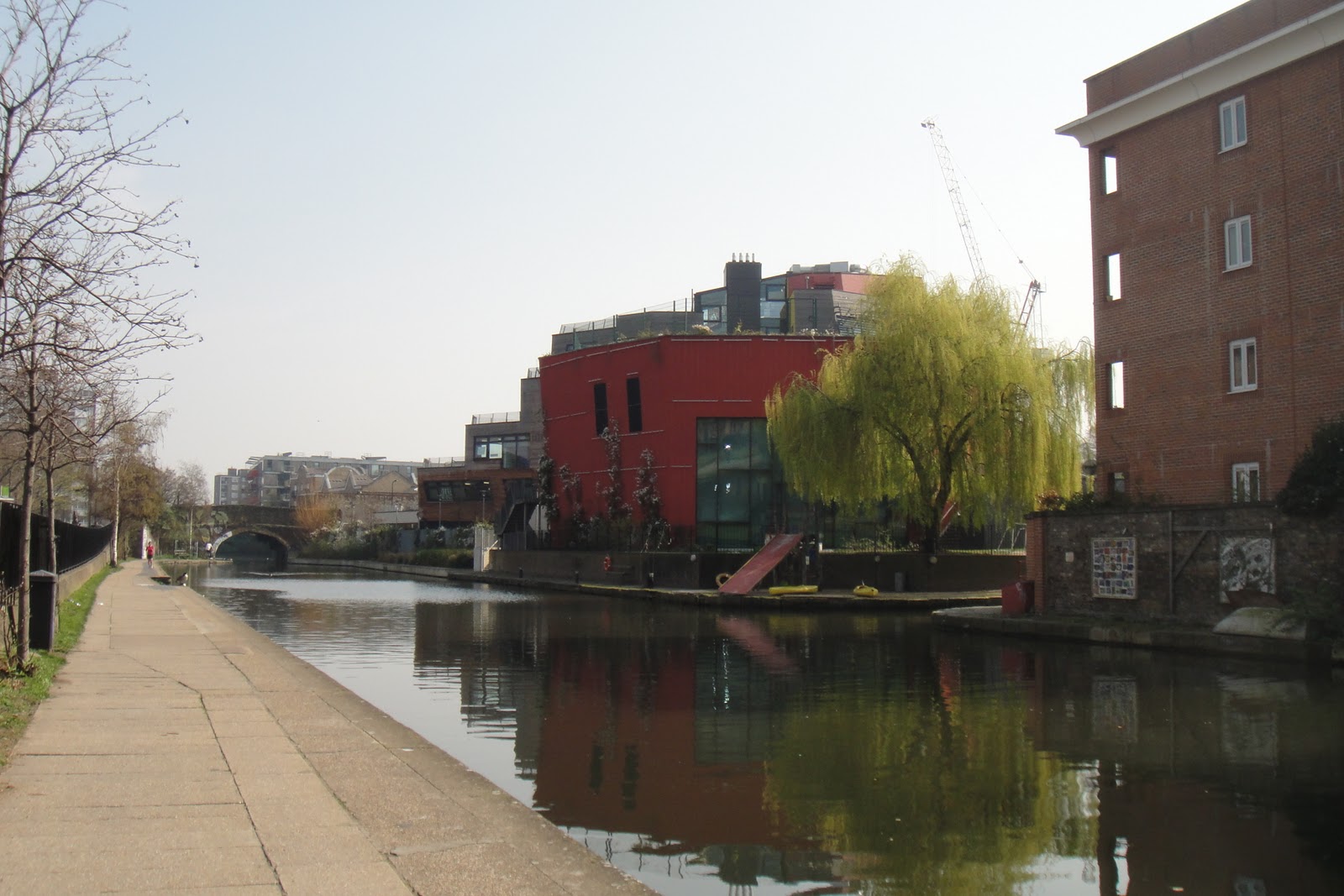
The old factories are now occupied by sheik design firms and high-rent housing. Despite being built right up to the water's edge, there was actually quite a bit of wildlife.

 |
| Shoreditch makes less of an attempt to be sheik, but still repurposes old industry. |

 |
| I'm told they're actually called "gasometers." |

Not long after this picture I saw a crowd of people gathered on the towpath. The reason became clear:
 |
| It looks like a giant goldfish... |
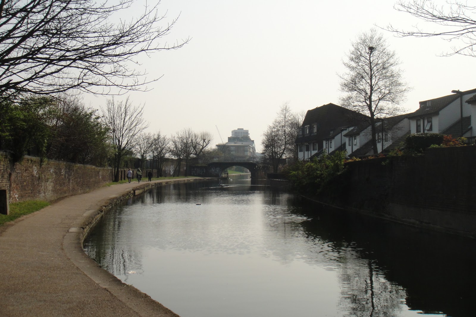
From this point, it becomes more typically residential east London, and the locks become more frequent.
 |
| Passing Victoria's Park on the left. |


 |
| The Hertford Union. |
 |
| What is it doing in the UK?? |

But by far the most common sight in this part of Regent's Canal are the cranes. There seems to be a bit of a canalside real estate boom going on in north / northeast London at the moment.
Immediately after this came Mile End Park, which was pretty nice.
 |
| The City is visible through the haze/glare. |
 |
| Interesting architecture on the Queen Mary University of London campus. |

The houseboats basically disappeared after this point. The canal is crisscrossed by street and railroad bridges, and becomes the more typical mix of abandoned industry and renewal architecture. The large waterfowl population seems to be supported in part by these protected habitats that were set up to keep trash out and provide places for nests:

Which actually seemed quite successful. One bird was building its nest when I walked by.
 |
| A solitary smokestack. |
 |
| The last locks entering Limehouse Basin. |

The Basin has a mix of houseboats and more typically riverine / ocean-going vessels. On the far side of the marina, it connects to the River Thames by a larger set of locks:
 |
| A set of modern locks. |
Here's where it meets the Thames:

At one point, Limehouse connected the English hinterland to a global network of trade, and behind me to the east are the East India Company docks. From here, a boat could travel to Oxford, Birmingham, or Leicester, a pretty impressive reach.
Here's Limehouse in 1823, not long after the Regent's Canal was constructed.

I'm not sure where the next canal will be, but I'd like to visit one outside London, so it may have to wait a few weeks.
No comments:
Post a Comment